The money is reserved when you pay and released only once you accept the work.
Example result
Example for the Standard package
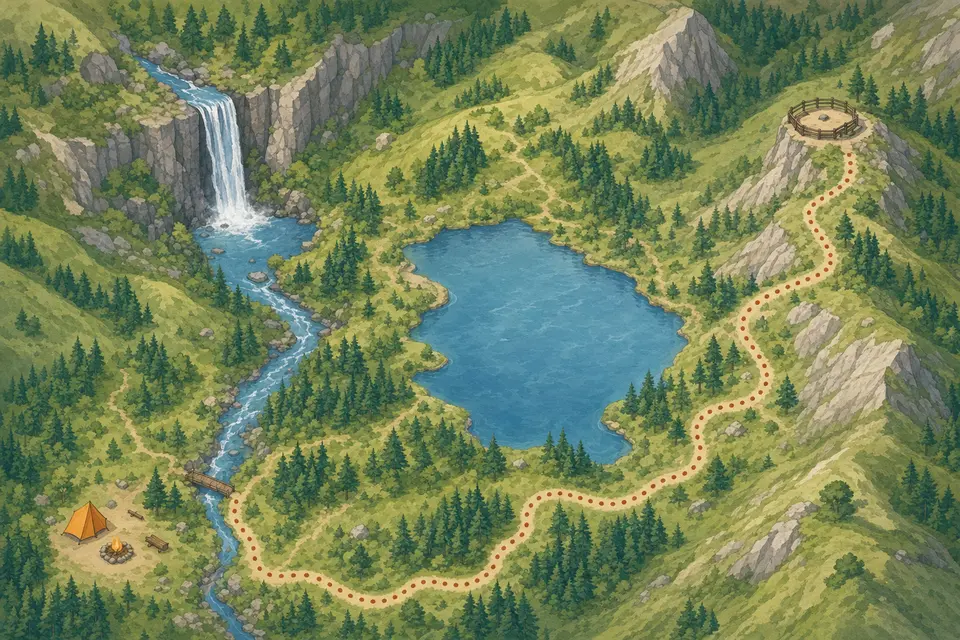
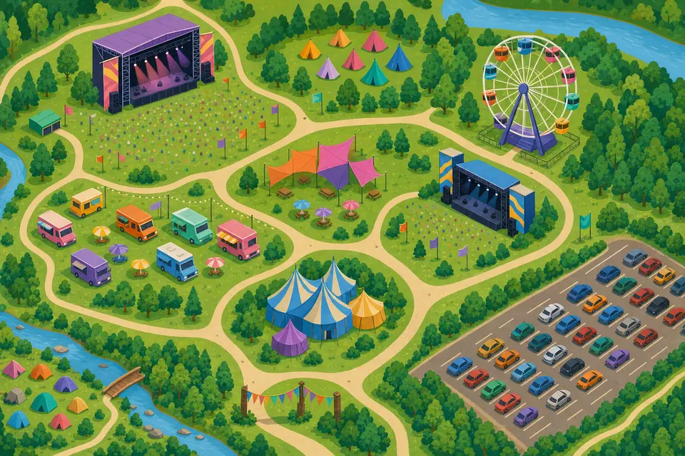
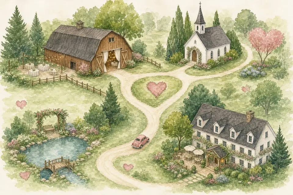
Illustrated maps for a park, a festival and a wedding
3 maps
Client: a national park, a music festival and a couple planning their wedding.
Task: friendly bird's-eye maps that guests understand at a glance; names and labels are added in the layout.
The client and all details are made up.
About this service
Visitors to a campus, summer camp or factory site get lost between buildings that look alike, and newcomers on their first day need to find the canteen, the gym or gate 3 quickly. We draw an illustrated map of your grounds in an angled bird's-eye view with recognizable buildings, paths, car parks and entrances, so it works on a welcome sign, in an onboarding pack or on the website. Building numbers and names stay off the picture, and you add them as callouts.
What is included
What you getAn illustrated grounds map as a landscape PNG with every building and entrance drawn in place and space for your numbers. No vector, layered or print-shop files.
You pay when you order, but the money is released only for accepted work.
Fixed priceThe package price does not change after you pay.
The money is reservedWhen you pay, the amount is only reserved. It is released to the service once you accept the work.
Checked before deliveryEvery result goes through a quality check before it reaches you, and you see it on the order page before accepting it.
Free revisionsAsk for changes within your brief as many times as the package allows.
Acceptance after 3 daysIf within 3 days of delivery you neither accept the work nor ask for changes, it is accepted automatically. If you write in the order chat after delivery, the order waits; once we answer, we may start the 3 days again and will say so in the chat.
Redo or a full refundIf the result does not match your brief and the revisions did not fix it, or the work takes more than twice its deadline, write in the order chat: we will redo the work or refund the payment in full.
No. It is an illustration for finding your way; evacuation plans follow official rules and are made separately.
Will the buildings match reality exactly?
We draw them from your description and their position on the map; the more details you give (floors, roof color, signs), the closer they look. Small differences are fixed within revisions.
Can I share photos of the buildings?
Yes, share a link to an album or gallery; we use it as a reference and do not edit the photos.
 Design

 Design
 Design
 Design